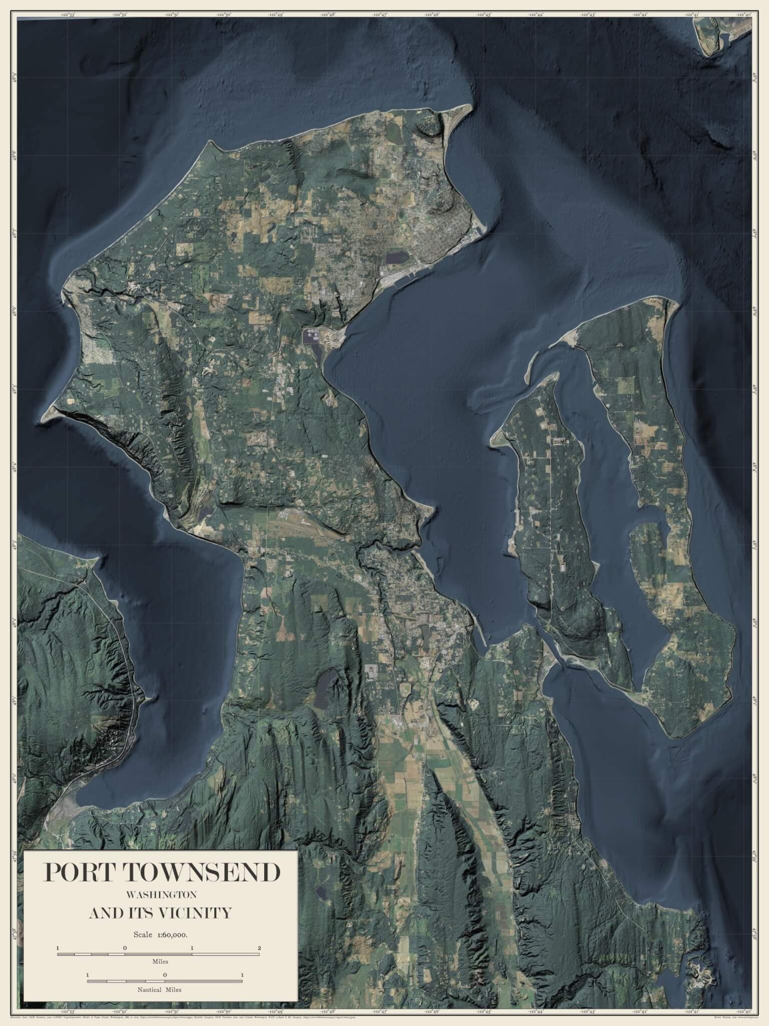
This map of Port Townsend, Washington combines modern LIDAR and Satellite Imagery with the aesthetics of an antique, late 19th century map.
I used LIDAR data to create the shading that gives this a 3D look. The elevation model includes both topography and bathymetry, so you get to see much of the sea floor as clearly as you can see the hills and fields of the island. LIDAR is a newer technology and much of the US has not yet been mapped with it; in this case about half of the seafloor is much sharper resolution than the rest and some areas show repeating line patterns which are artifacts of the LIDAR scanning process.
The map elements, including the frame and typefaces, are closely modeled after a map from one of my favorite periods of cartography, the late 19th/early 20th Century. The maps were hand-drawn back then (including the text) which lends them a warmth that’s not common on modern digitally produced maps.
There is no text on the map itself, it has no streets or towns or natural features labeled. This is designed to be an educational art piece rather than a navigational tool, although it does have a latitude/longitude grid.
This map is available as a 18×24 inch museum-quality poster on thick and durable matte paper. Each poster is giclée-printed on archival, acid-free paper that yields brilliant prints to brighten up any room.
-Paper thickness: 10.3 mil (0.26 mm)
-Paper weight: 5.57 oz/yd² (189 g/m²)
-Giclée printing quality

Reviews
There are no reviews yet.